

Everest Region
Khumbu, Solukhumbu District
The Khumbu is the valley on Mount Everest's southern side, home to around 6,000 Sherpa and to Sagarmatha National Park. Trails run from the airstrip at Lukla (2,860 m) up to Base Camp at 5,364 m, past Tengboche monastery and the Gokyo lakes.
Trips Starting from Everest Region
Hand-crafted itineraries that start in Everest Region, from a single sunrise day-trip to multi-week Himalayan expeditions.
Everest Base Camp Trek
14 daysFrom $1,620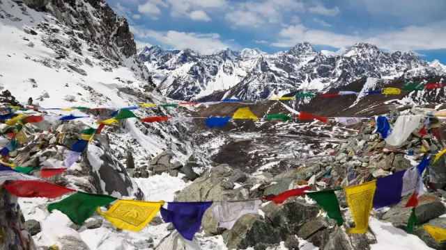
Everest Three High Passes Trek
21 daysFrom $1,899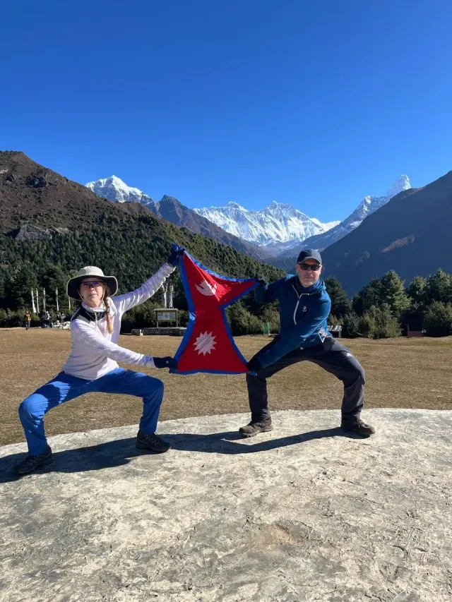
Everest Yoga Trek
14 daysFrom $1,750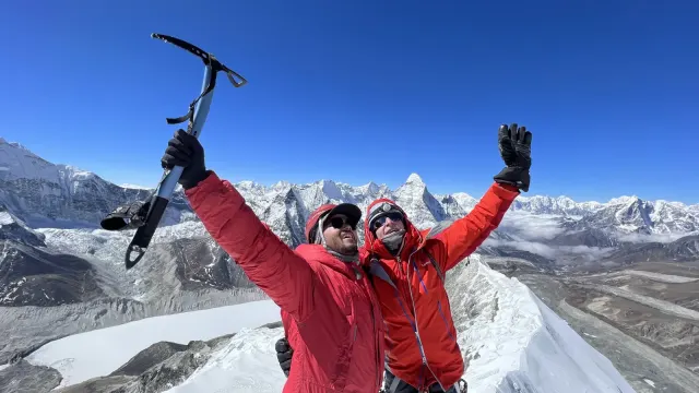
Island Peak
18 daysFrom $2,495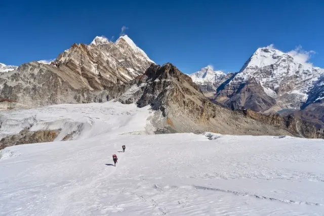
Mera Peak Climbing
16 daysFrom $2,150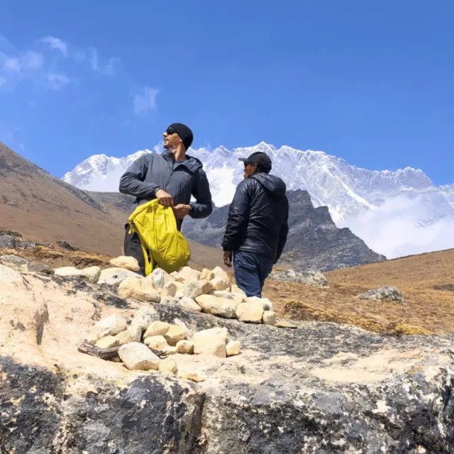
Ama Dablam Expedition
29 daysFrom $6,999
Mount Everest Expedition
64 daysFrom $45,500
Lhotse Expedition
43 daysFrom $19,690
Mount Nuptse Expedition
43 daysFrom $12,250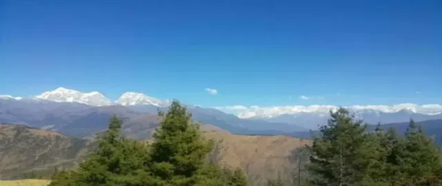
Pikey Peak Trekking
12 daysFrom $1,900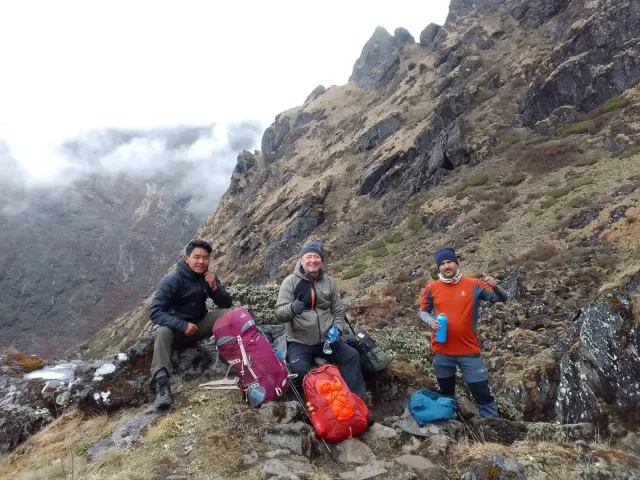
Arun Valley to Everest Base Camp Trek
21 daysFrom $2,280.webp)
Mount Pumori Expedition
36 daysFrom $9,790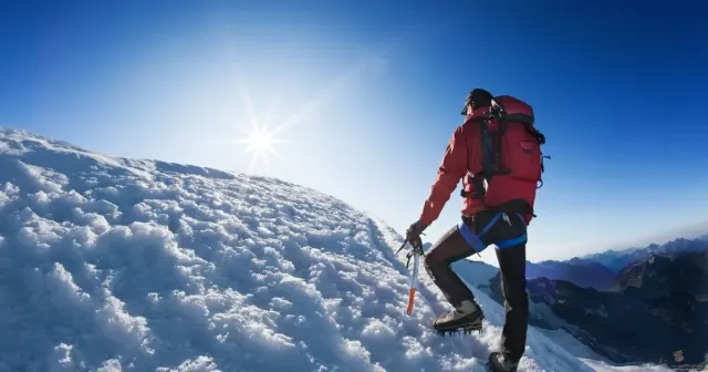
Pokalde Peak Climbing
17 daysFrom $1,850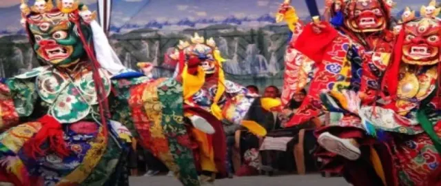
Mani Rimdu Festival Trek in Everest Region
13 daysFrom $2,080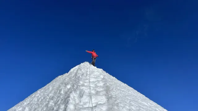
Lobuche Peak Climbing
18 daysFrom $2,250.webp)
Gokyo Ri Valley Trek
15 daysFrom $1,675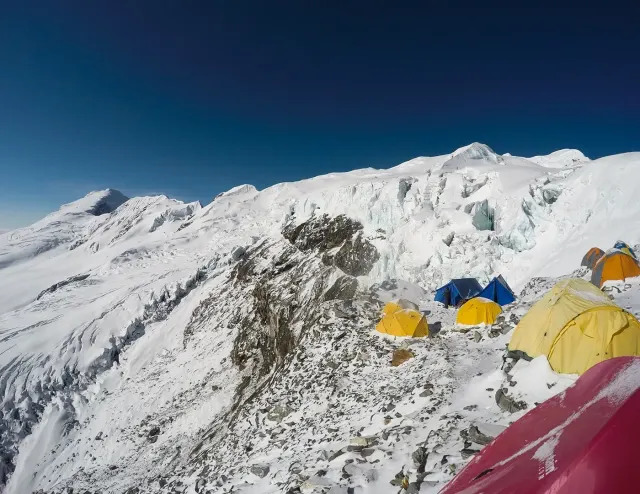
18 days - Mera Peak
18 daysFrom $2,250.webp)
Gokyo Ri with Everest Base Camp
18 daysFrom $1,775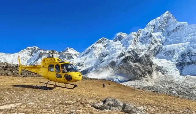
Everest Base Camp Helicopter Tour
1 daysFrom $1,850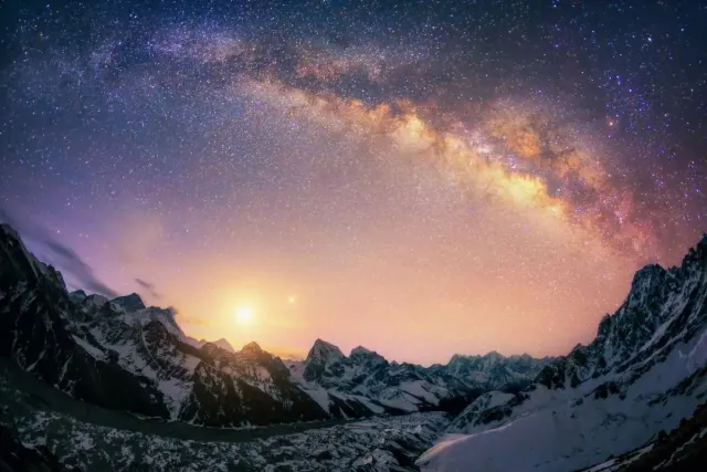
Stargazing Trek Sagarmatha National Park
5 daysFrom $1,300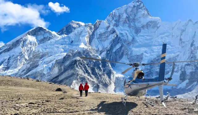
Everest Base Camp Trek with Helicopter Return
10 daysFrom $2,765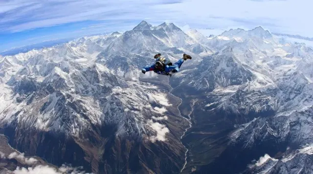
Everest Skydive in Nepal
11 daysFrom $25,000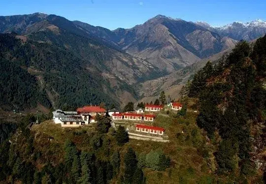
Lower Everest Trek
11 daysFrom $950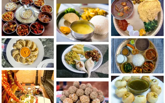
Himalayan Food Exploration Tour
11 daysFrom $2,999
Where Hillary and Tenzing Walked
Mount Everest is a Himalayan peak on the Nepal-Tibet border with an official height of 8,848.86 m. Nepal and China announced that figure together on 8 December 2020, settling a disagreement that had run for decades: the Survey of India measured 8,848 m in 1954, and a 1999 American GPS survey backed by the National Geographic Society argued for 8,850 m. Nepalis call the mountain Sagarmatha, “forehead in the sky”. To Tibetans it is Chomolungma, “goddess mother of the world”. Edmund Hillary and Tenzing Norgay reached the top on 29 May 1953.
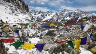
Sagarmatha National Park protects 1,148 km² of the Khumbu and has been a UNESCO World Heritage Site since 1979. Roughly 6,000 Sherpa live inside the park, in stone villages set between 2,800 and 4,400 m. Their Buddhism is on every trail: prayer flags strung across the passes, mani walls you keep to your left, and the monasteries at Tengboche and Pangboche. Tengboche still blesses climbing expeditions the way it blessed the 1953 one.
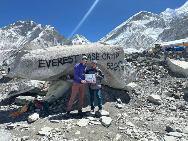
So which Khumbu trek should you actually walk? The Everest Base Camp Trek takes 14 days and is the busiest high-altitude trail in Nepal. It opens with the flight into Lukla, whose runway is 527 m long and cut at a slope into the hillside, then climbs through pine forest and yak pasture to the Khumbu Glacier. One thing worth knowing before you book: you cannot see the summit from Base Camp, because the west shoulder hides it. That is why almost everyone climbs Kala Patthar (5,545 m) at dawn instead. Trekkers who want the quieter side of the valley take the Gokyo lakes, and the Three High Passes Trek links both over three crossings above 5,300 m.
Things to do in Everest Region
Standout experiences hand-picked by our local guides.
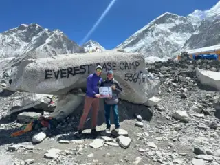
- 01Everest Base CampThe 5,364 m moraine where every south-side expedition begins. Fourteen days from Lukla and back.
- 02Kala Patthar at DawnA 5,545 m shoulder above Gorak Shep. This is where you actually see Everest, which Base Camp itself cannot offer.
- 03Tengboche MonasteryThe largest gompa in the Khumbu, at 3,867 m. Hillary and Tenzing were blessed here in 1953.
- 04Namche BazaarThe Sherpa capital at 3,440 m, built in a horseshoe of terraces. Saturday market, bakeries, and the acclimatisation stop nobody skips.
- 05Gokyo Lakes and RiSix turquoise glacial lakes under a 5,357 m viewpoint that takes in Everest, Lhotse, Makalu and Cho Oyu at once.
- 06Three High PassesRenjo La, Cho La and Kongma La, each above 5,300 m. The hardest way to see the Khumbu, and the most complete.
- 07Sherpa KhumbuKhumjung's Hillary School, the hospital at Khunde, and Mani Rimdu at Tengboche each October.
- 08The Lukla FlightTenzing-Hillary Airport, 2,860 m. In peak season the flight often runs from Ramechhap instead of Kathmandu.
Best time to visit Everest Region
Trekking here concentrates in autumn (October to November) and spring (March to May). Winter is clear and very quiet but punishing above 4,000 m, and the monsoon closes the views.
- ★ BEST SEASONSpringMarch – MayRhododendron colours the forest below Tengboche and the Base Camp climbing season fills the trail. Warmer than autumn, with more haze by late May. Temperatures shown are Namche (3,440 m).-2°C – 12°C
- MONSOONSummerJune – AugustMonsoon. Cloud sits on the peaks most days, leeches appear in the lower forest, and Lukla flights cancel often. Fine for Sherpa culture and wildflowers, poor for mountain views.6°C – 16°C
- ★ BEST SEASONAutumnSeptember – NovemberThe clearest air of the year once the monsoon breaks, and the busiest trail. Book teahouses early through October. Nights below Lobuche drop under -10 °C by late November.-5°C – 11°C
- GOODWinterDecember – FebruarySharp visibility and almost no crowds. Cho La and Renjo La may be closed by snow, and the high lodges above Dingboche largely shut. For well-equipped trekkers only.-15°C – 5°C