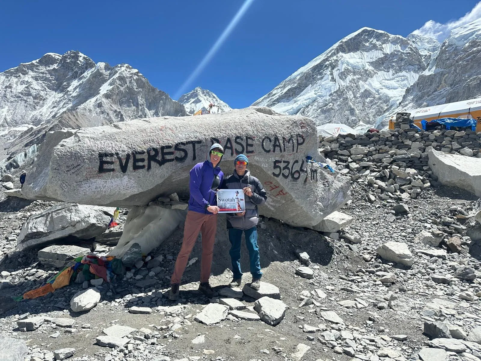
The Gokyo Ri with Everest Base Camp trek is a strenuous 18-day high-altitude route in the Khumbu region of Nepal that combines two of the most rewarding objectives in Himalayan trekking. It reaches Gokyo Ri at 5,357 m above the turquoise glacial lakes beside the Ngozumpa Glacier, crosses the Cho La at approximately 5,420 m linking the Gokyo valley to the Khumbu valley, visits Everest Base Camp at 5,364 m, and climbs Kala Patthar at 5,545 m for the highest and closest ground-level view of Mount Everest (8,848 m). The route flies into Tenzing-Hillary Airport at Lukla (2,840 m), reaches Namche Bazaar (3,440 m) as the main trading hub of the Khumbu, and weaves through Sherpa villages and glacial terrain before descending for the return flight.
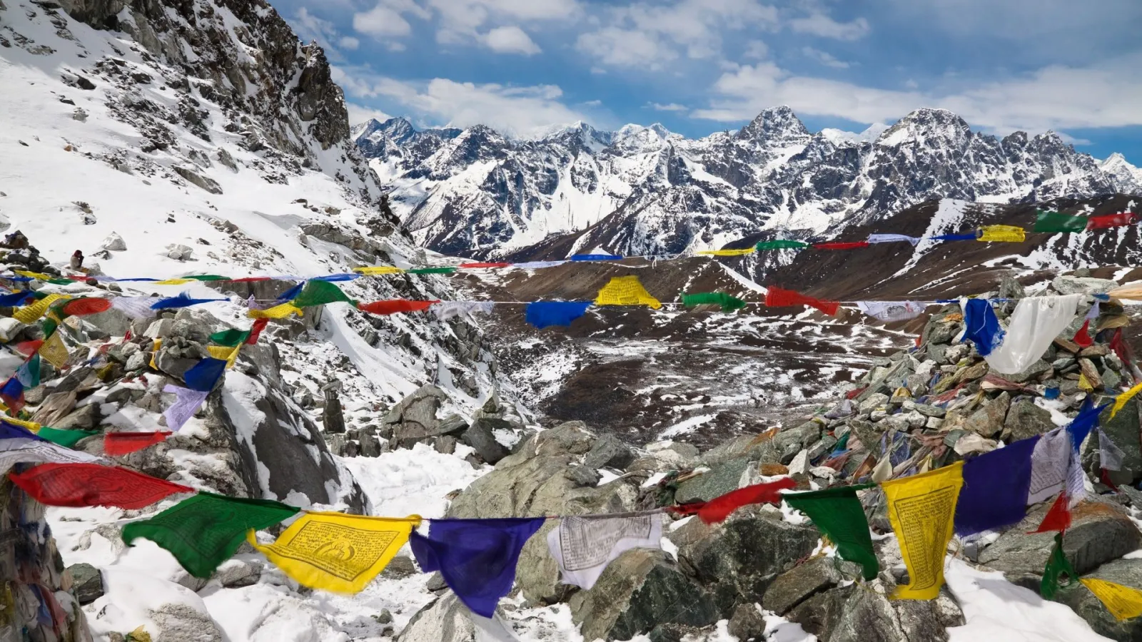
Gokyo is a cluster of high-altitude glacial lakes at 4,750 m beside the Ngozumpa Glacier, the longest glacier in Nepal at around 36 km. Gokyo Ri rises 600 m above the valley to a summit at 5,357 m with a panorama that takes in Everest, Lhotse, Makalu and Cho Oyu, four of the world's six highest peaks. The Cho La, a glaciated high pass at about 5,420 m, is the demanding link between the Gokyo and Khumbu valleys, requiring an early start, crampons and ice axe if conditions dictate, and a guide familiar with the crossing. Everest Base Camp at 5,364 m sits at the foot of the Khumbu Icefall, where expedition teams assemble each spring and autumn, and Kala Patthar at 5,545 m is the trekking high point and the finest viewpoint for the south face of Everest.
This trek is serious, high-altitude work. Nights are cold across the Khumbu, with temperatures dropping well below zero above 4,000 m, and acclimatisation days at Namche Bazaar and Dole are built into the schedule to reduce the risk of acute mountain sickness. The Sagarmatha National Park entry permit and the Khumbu Pasang Lhamu Rural Municipality permit are required for all trekkers; the old TIMS card is no longer required inside the Khumbu. Flights to Lukla operate from Kathmandu, and in peak spring and autumn seasons from Manthali (Ramechhap airport) to shorten the approach. The sections below cover permits, difficulty, the Cho La, seasons and what to bring.