


Dhaulagiri Region
Myagdi, western Nepal
The seventh-highest mountain on Earth, and the highest lying entirely inside Nepal. The circuit crosses two passes above 5,000 m into the Hidden Valley, camping the whole way, with no teahouses and no easy exit.
Trips Starting from Dhaulagiri Region
Hand-crafted itineraries that start in Dhaulagiri Region, from a single sunrise day-trip to multi-week Himalayan expeditions.
.webp)
The Mountain That Was Once Thought Tallest
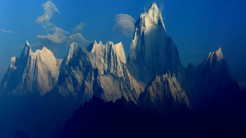
Dhaulagiri reaches 8,167 m, making it the seventh-highest mountain on Earth and the highest lying wholly within Nepal. The name is Sanskrit: dhawala for dazzling white, giri for mountain. For about 30 years from 1808 it was believed to be the highest mountain in the world, until Kangchenjunga took the title and Everest eventually took it from both.
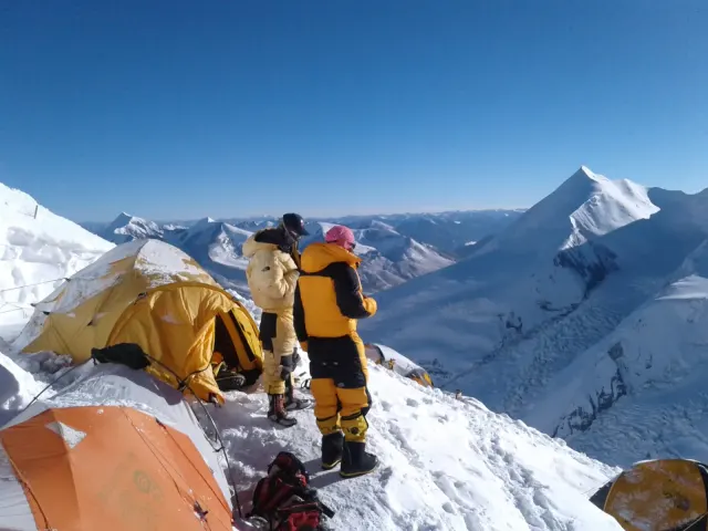
It was the last of the 8,000 m peaks to be climbed in the great era of Himalayan exploration. A Swiss-Austrian expedition under Max Eiselin summited on 13 May 1960, using a single-engine aircraft to land supplies high on the glacier, which was then an extraordinary idea. The massif carries 30 named peaks above 6,000 m, one of the densest clusters of high mountains anywhere.
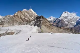
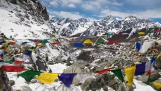
The Dhaulagiri Circuit takes 17 days and is the most demanding non-restricted trek in Nepal. From Beni it climbs through bamboo forest to a base camp at 4,750 m beneath a face that rises 4,000 m above it, then crosses French Pass (5,360 m) and Dhampus Pass (5,182 m) into the Hidden Valley, a silent glacier basin the French found in 1950, before dropping to Marpha on the Annapurna circuit. It is camping throughout, with a full crew, and there is no road to bail onto.
Things to do in Dhaulagiri Region
Standout experiences hand-picked by our local guides.
- 01Dhaulagiri Base Camp4,750 m, under a south face that rises 4,000 m above you. One of the most dramatic base camps in Nepal.
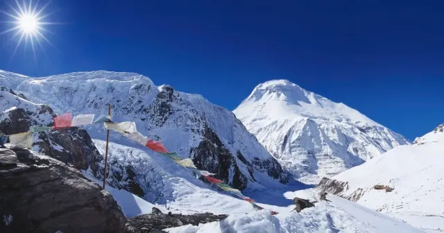
- 02French Pass, 5,360 mThe high point, named for the 1950 expedition. Crosses from the amphitheatre into the Hidden Valley.
- 03Hidden ValleyA glacier-walled basin at about 5,200 m, silent, with Dhaulagiri II to V and Tukuche around it.
- 04Dhampus Pass, 5,182 mThe exit towards Marpha and the Annapurna circuit, down long scree.
- 05Italian Base CampA lower camp at 3,660 m named for Messner's 1985 attempt, facing the icefall.
- 06MarphaThe Thakali apple village that ends the circuit. Whitewashed lanes, apple brandy and the first real bed in two weeks.
- 07Myagdi Khola CampsWild riverside camps on the way in. No lodges, full camping support, no shortcuts.
- 08Eagle Nest PassAn optional acclimatisation hike from Hidden Valley, looking down into the Kali Gandaki.
Best time to visit Dhaulagiri Region
A camping circuit with two passes above 5,000 m. Spring and autumn are the only realistic windows, and winter closes it completely.
- ★ BEST SEASONSpringMarch – MaySettled from about mid-April. The Hidden Valley holds snow into early May, so the timing of the pass crossing is the whole plan.-10°C – 15°C
- MONSOONSummerJune – AugustThe monsoon closes the lower valleys with landslides. Late-July attempts exist but only with experienced camping crews, and the views are not there.6°C – 22°C
- ★ BEST SEASONAutumnSeptember – NovemberPeak season. Post-monsoon clarity and the most stable pass conditions, though the passes are still cold enough to be serious.-15°C – 14°C
- MONSOONWinterDecember – FebruaryFrench Pass is effectively impassable and the circuit closes. Only short out-and-backs towards base camp are feasible.-30°C – 5°C